
We added a short drive on the Blue Ridge Parkway to our visit to Shenandoah National Park. The Blue Ridge Parkway begins at the southern entrance to Shenandoah. We drove out of the park on Skyline Drive and continued directly onto the Blue Ridge Parkway. We happened to come across the Humpback Rocks trailhead on Google Maps, so we thought we’d drop by and check it out.

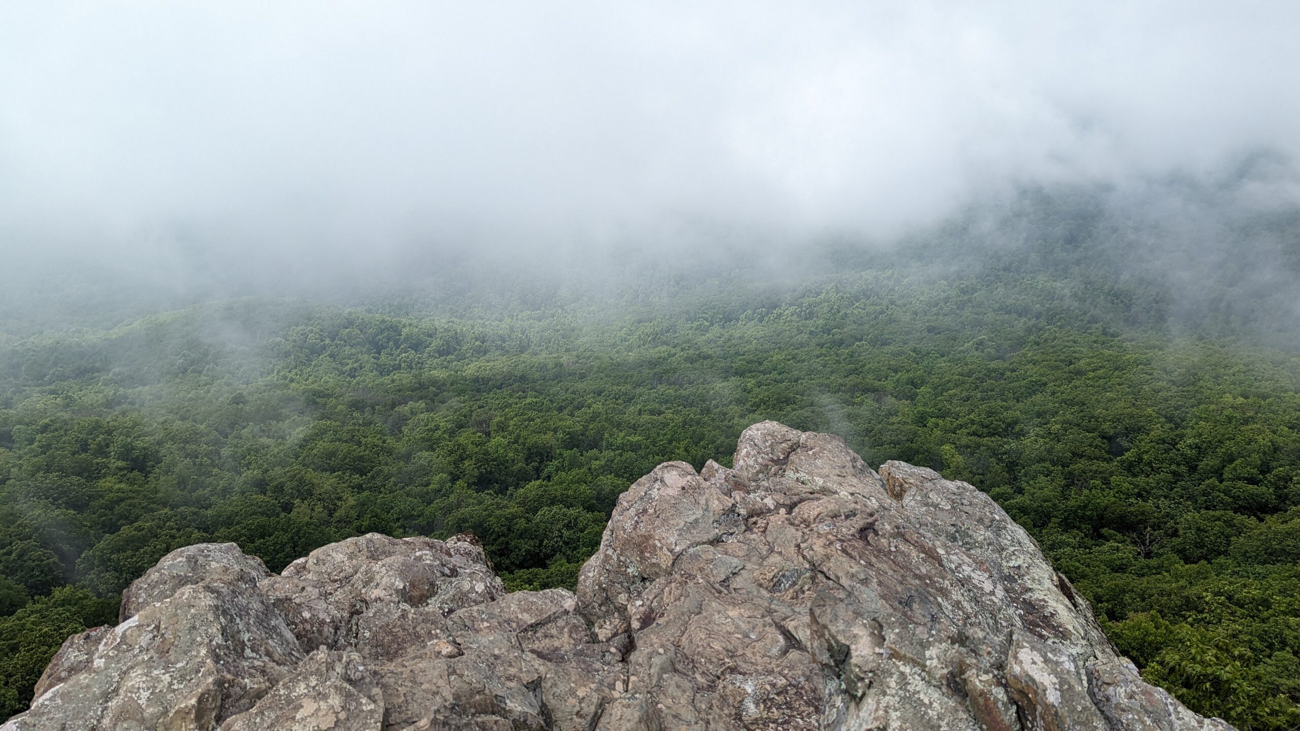
I’m so glad that we happened to come across this hike and stopped to do it. It was a shorter hike at about 2 miles roundtrip, but it was a pretty steep climb to the rocks themselves. The climb was over 700 ft from the trailhead to the rocks. However, the views were well-worth it. It had been a foggy day, but fortunately, the fog began to lift while we were at the top.


- Quick Facts
- Length: Approx. 2 miles round trip (out and back)
- Elevation Gain: 700+ ft
- Trailhead/Parking: Humpback Gap Parking Area
- Link to NPS site
There was a small network of trails around that area that included the Appalachian Trail. If we return to this spot sometime in the future, I’d like to create a loop using these various trails and spend some time hiking the Appalachian Trail.